A noteworthy spring snowstorm is forecasting its way into Alberta, anticipated to bring substantial snowfall, intense winds, and hazardous travel conditions to areas including Calgary. Meteorologists indicate that some parts of the province may see snowfall accumulation of up to 20 centimetres as this robust system traverses western Canada in the coming days.
According to forecast reports, the storm is predicted to develop rapidly, commencing in elevated regions before it spreads to central and southern Alberta. Calgary is poised to experience considerable snowfall accompanied by cooler temperatures and strong gusts of wind that could impair road visibility. Officials issue warnings for potential dangerous travel scenarios, particularly during rush hours.
The severe weather pattern is attributed to a blend of icy Arctic air and humid systems advancing from the west into the province. While rapid weather shifts can be a common theme in Alberta's spring climate, forecasters highlight that this storm is notably intense for this time of year, likely causing temporary inconveniences across various communities.
Environment and climate authorities have issued weather advisories for numerous regions, urging residents to brace for winter-like conditions despite being in the spring season. Motorists can expect slick roads, icy highways, and possible delays due to reduced visibility from swirling snow and wind. Emergency responders and road crews are gearing up to manage the evolving situation as snowfall potentially worsens.
Rural areas and higher elevations west of Calgary are forecasted to endure the most substantial snowfall. Certain highland and foothill settings could see accumulations nearing or exceeding 20 centimetres if the storm remains vigorous longer than anticipated. In Calgary itself, snowfall projections will fluctuate based on temperature changes throughout the storm.
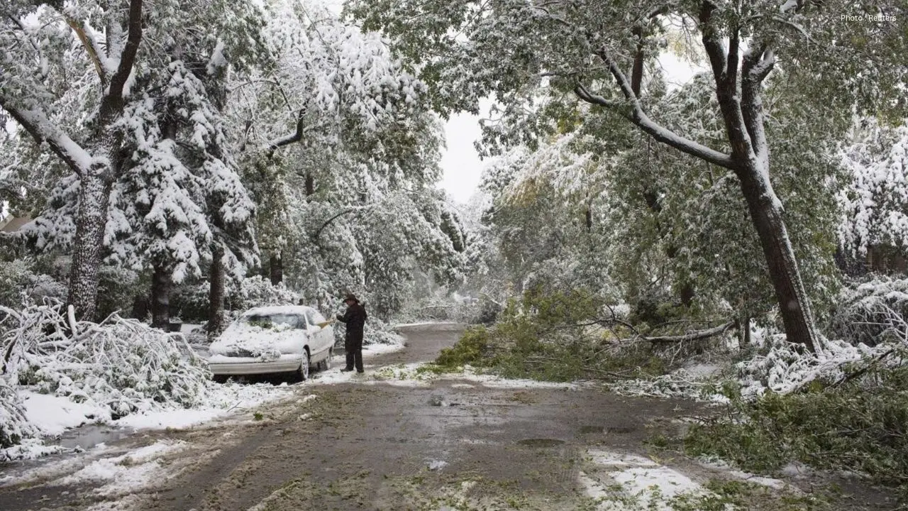
Residents have been advised to gather emergency supplies, ensure winter clothing is accessible, and factor in extra travel time over the next few days. Authorities also recommend staying updated on weather forecasts as conditions may evolve with the storm system. Utility companies and local services are vigilantly observing the situation to prepare for potential power outages or infrastructure damage from strong winds.
This unexpected spring snowfall emerges after a stretch of warmer weather in Alberta. Experts note that fluctuating temperatures during seasonal transitions can lead to abrupt snowstorms, particularly near the Rocky Mountains. While late-season snow is not unusual in Alberta, the predicted scale and extensive impact have raised alarms among transport officials and local governance.
Local enterprises, airlines, and transportation services are also on standby for potential setbacks if road and weather conditions deteriorate. Airports in Calgary and surrounding locations might see disruptions depending on snowfall density and visibility during the storm.
Weather officials project that the storm will gradually lose strength later in the week, though chilly temperatures could linger across parts of Alberta even after the most intense snowfall subsides. Residents are encouraged to keep an eye on official weather alerts and minimize travel during periods of severe snow and wind.